Our Services
We offer our services in a variety of affordable and flexible options without compromising our efficiency or quality. On long-term projects our clients can expect to receive a production timeline based on hourly rates. We recognize that for some short-term projects our clients have existing data or require less research and preparation. In such pragmatic cases, we also offer fixed-price contracts based on service tiers.
Spatial Analytics and Site Mapping
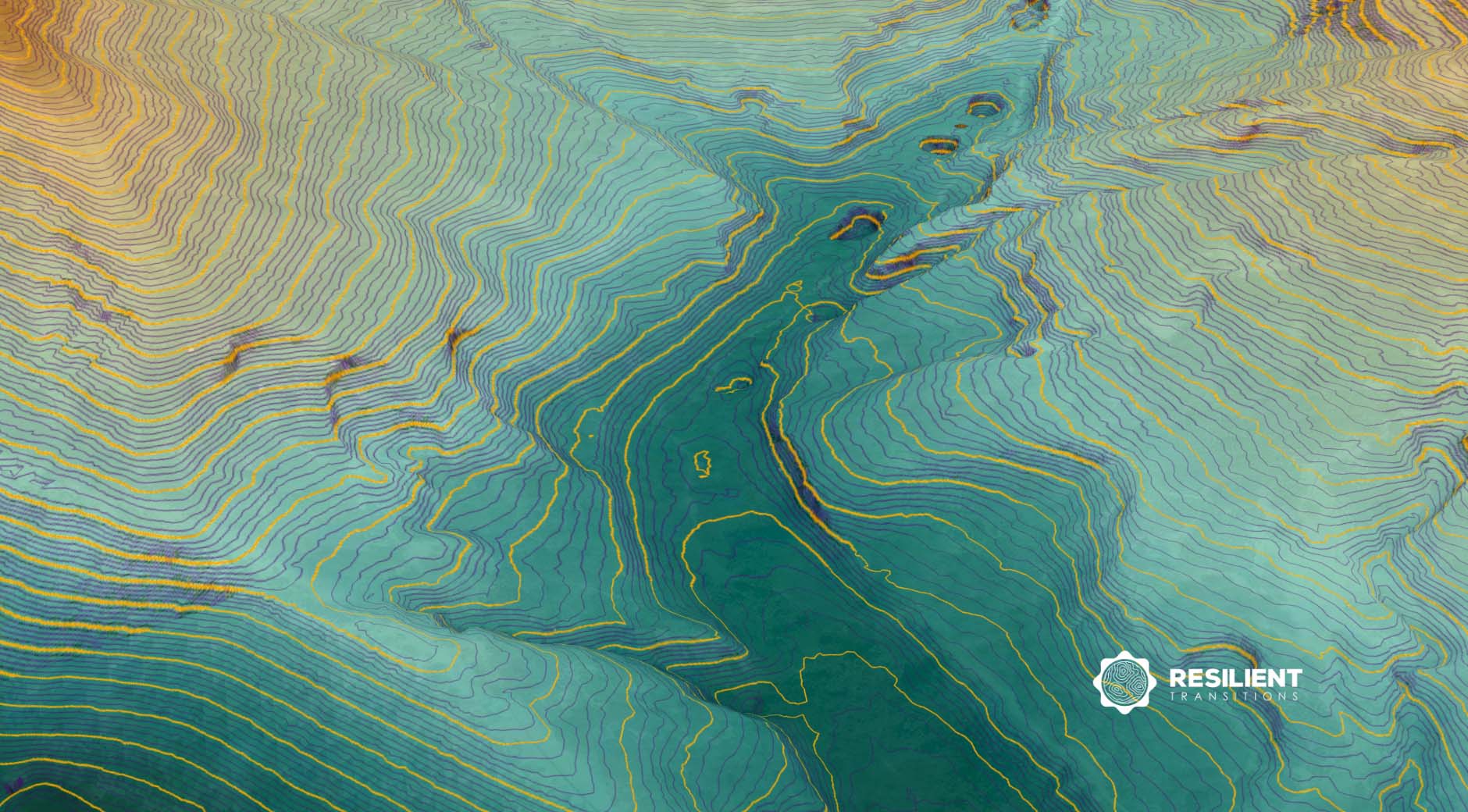
We provide comprehensive spatial analysis and mapping services to help landowners understand the unique characteristics and potential of their property. Our tools, techniques, and clear visualizations consistently help clients see their land in new ways.
GIS Architecture and Management

Our expertise in Geographic Information Systems (GIS) ensures that clients have access to accurate, up-to-date data. We offer custom GIS architecture design and ongoing management support for field staff. Whether you have existing data or are starting from scratch, we’re here to support you every step of the way.
Land and Habit Management Strategies
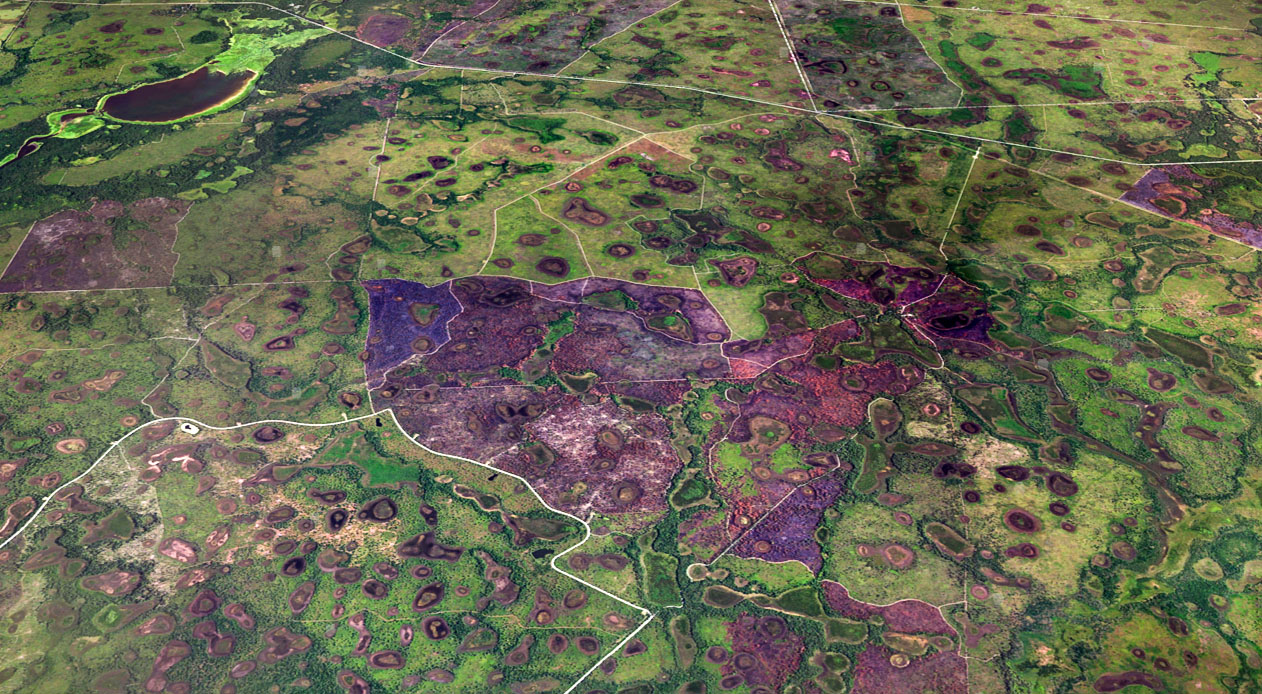
We develop tailored strategies for working lands, active habitat management, and passive landscapes. Our scenario planning methods assess the long-term benefits, costs, and potential consequences before any intervention, ensuring we maintain productivity, minimize negative impacts, and build resilience for inevitable adverse events. Our approach has successfully supported landowners managing properties ranging from less than an acre to over 25,000 acres.
Landscape Design and Visualization
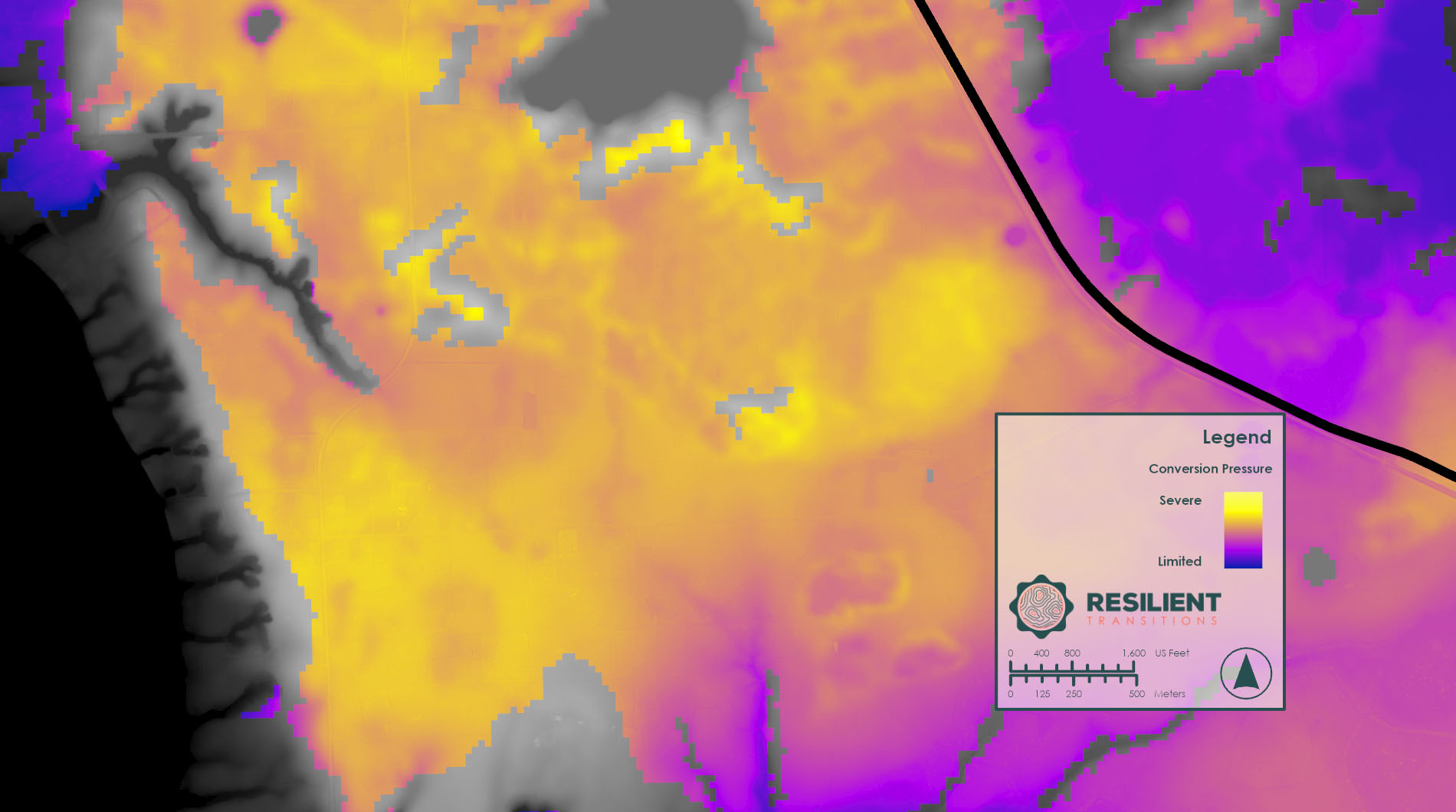
Are you in need of detailed landscape design and visuals? We have you covered. Our team is passionate about geodesign, and we can offer maps, drawing sets, and other visual representations to help you convey your vision, engage with stakeholders, and improve the decision-making process.
Sustainable Development Consulting
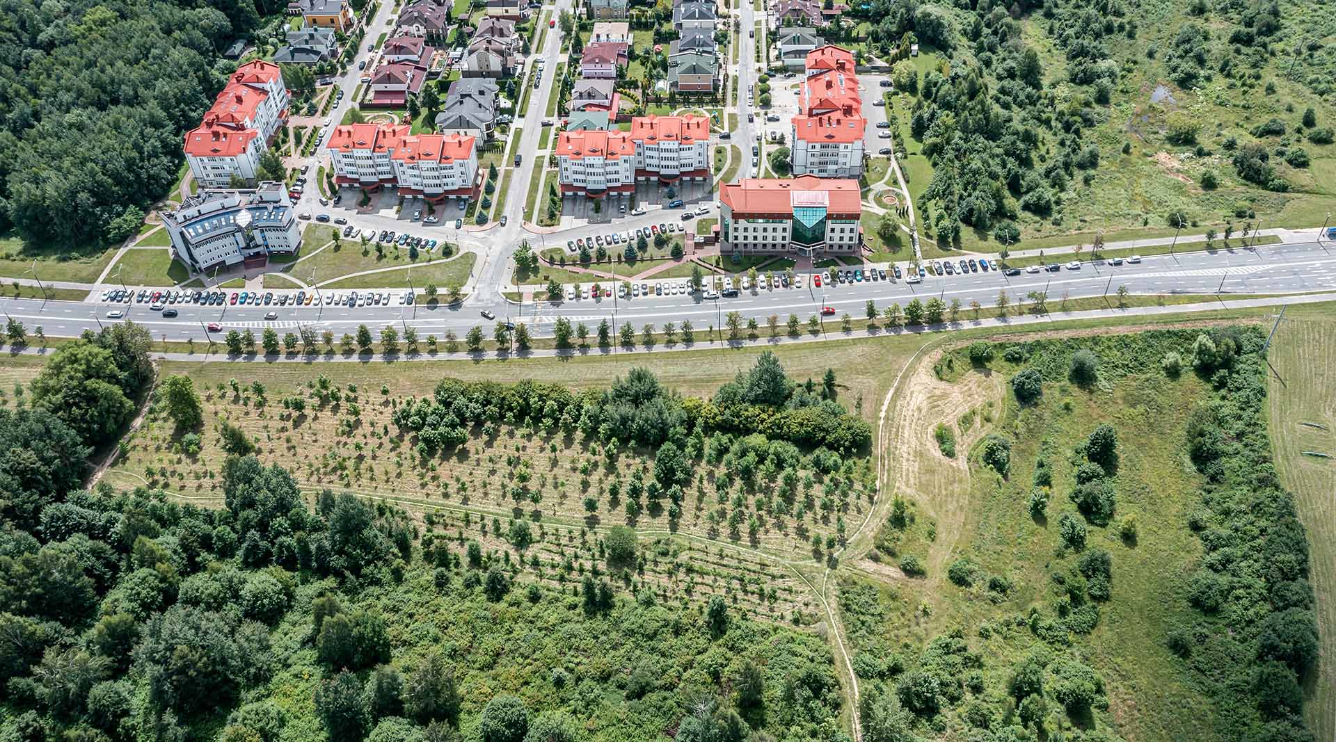
We work with developers, government agencies, and community organizations to promote sustainable development practices. Our consulting services are limited to strategic planning and support for projects that balance development with the conservation of valuable open spaces and working lands. When development is recognized as a viable option, we proudly strive to achieve a balance of 9:1 conservation to development.
Educational Workshops and Training
We offer workshops and training sessions to educate landowners, managers, and homeowners about best practices in the use of spatial data technology, land management, conservation, and sustainable development. Sessions range from simple educational materials to the specific use of trade tools like ArcGIS Pro.
